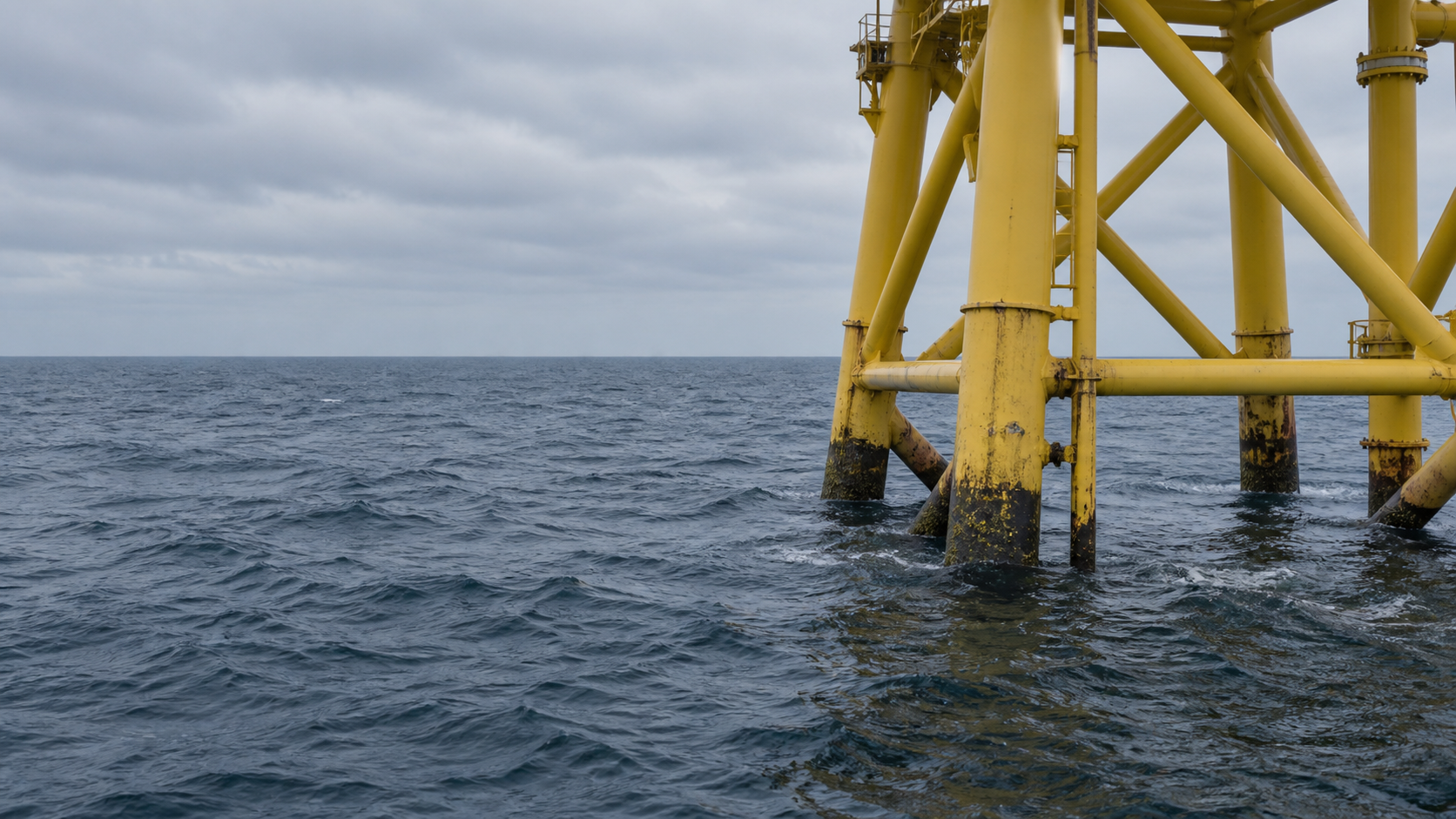
Offshore support structure at sea

depthmetric

Subsea inspection and hydrographic survey services for marine and offshore assets.

SUBSEA INSPECTION

ROV inspections

ROV-based general visual inspection (GVI) and close visual inspection (CVI) of subsea structures, with findings, measurements and traceable inspection reporting to support integrity management, maintenance and repair.

ROV inspection scope
HYDROGRAPHY

Seabed surveys

MBES bathymetry and side-scan sonar (SSS) for seabed mapping, scour assessment and detection of seabed features, contacts and obstructions.

MBES & side-scan sonar

PROJECT SUPPORT

Inspection coordination

CSWIP 3.4U inspection support covering inspection planning, campaign coordination, data review, QA/QC and final reporting.

CSWIP 3.4U

Discuss availability

ROV INSPECTIONS

Marine structures, vessels
and offshore assets.

ROV-based visual inspection is used to assess the condition of subsea assets. Video and stills are recorded, with findings and anomalies logged and referenced to the relevant asset location.

01

Ports & marine structures

Quay walls, piles and other submerged structural elements.

GVI/CVI for condition assessment, damage investigation and verification before and after repair works.

02

Vessels

Hull plating, propellers, rudders and appendages.

Visual inspection of the underwater hull and targeted investigation of suspected damage or fouling.

03

Offshore structures

Oil & gas and offshore wind assets.

GVI/CVI of structural members, connections and appurtenances in accordance with the inspection scope.

IMAGING SONAR

Inspection in low-visibility conditions.

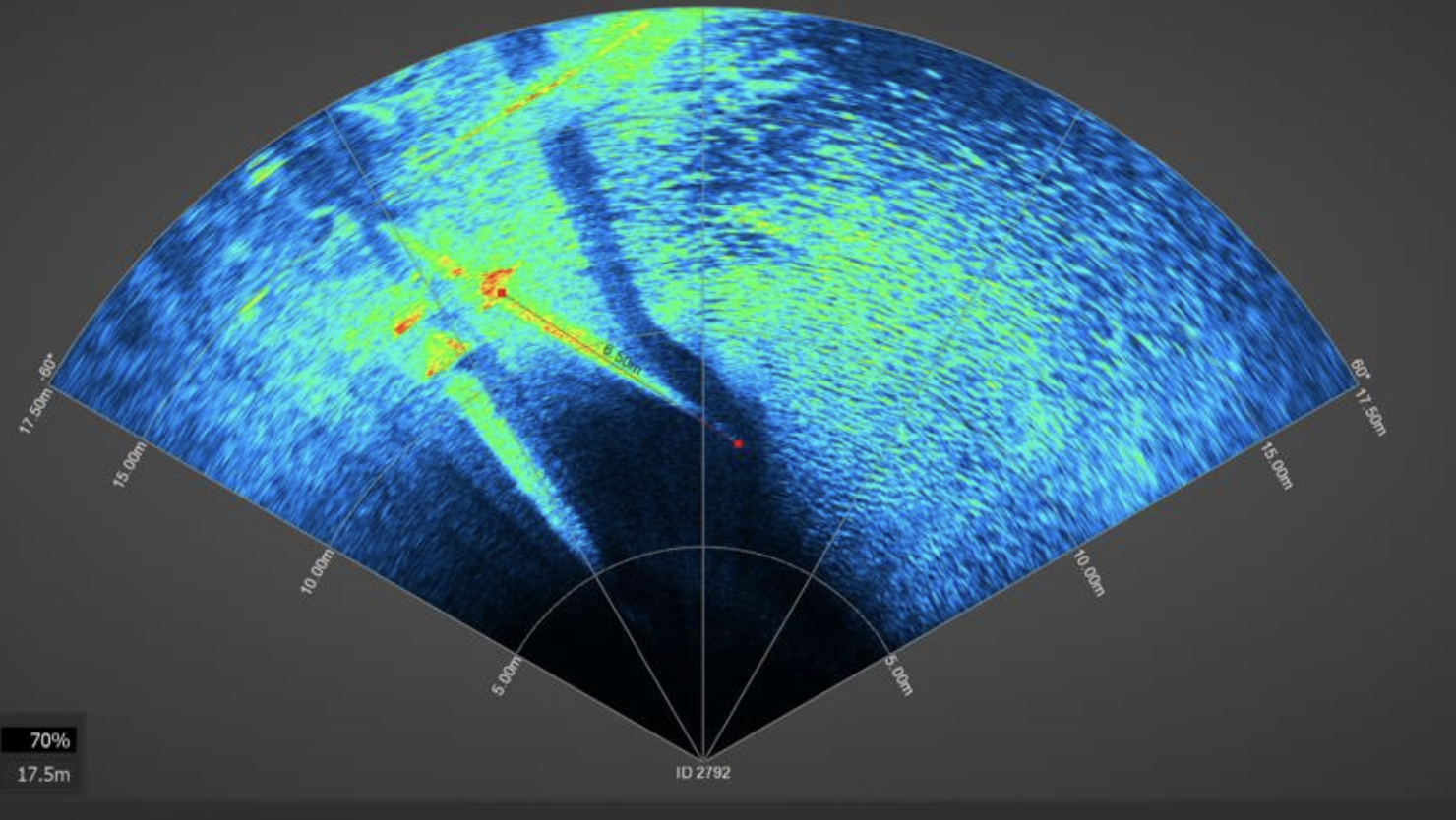
When water visibility is poor, imaging sonar supplements the video feed by locating targets, defining geometry and identifying obstructions around the ROV.

Example imaging sonar display Original sonar display

Measurements & 3D capture

Supplementing visual inspection with thickness measurements, cathodic protection potential and 3D geometry data.

UT / CP

Ultrasonic thickness & cathodic protection

Ultrasonic thickness measurements (UT) and cathodic protection (CP) potential measurements, referenced to defined inspection locations.

3D

Subsea photogrammetry

3D models reconstructed from underwater imagery to document asset geometry, dimensions and surface condition.

HYDROGRAPHIC SURVEYS

MBES bathymetry & side-scan sonar.

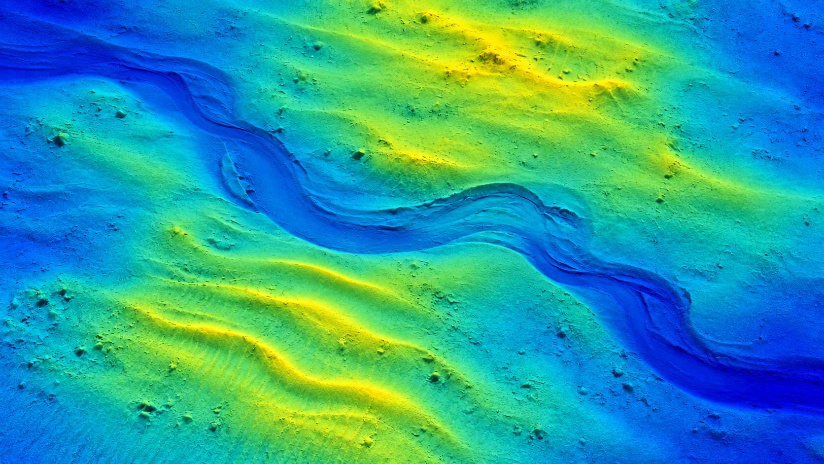
MBES provides high-resolution bathymetry and seabed morphology, while side-scan sonar provides acoustic imagery for detection and classification of seabed features and targets. The datasets support scour assessment, asset planning and follow-up ROV investigation.

Plan-view bathymetric surface model
MBES

MBES bathymetric survey

Multibeam echosounder (MBES) surveys for high-resolution seabed mapping and scour assessment around marine and offshore structures. Data are quality-controlled, processed and presented as survey deliverables.

DELIVERABLES

Georeferenced bathymetric surface/grid, digital terrain model and profiles/cross-sections.

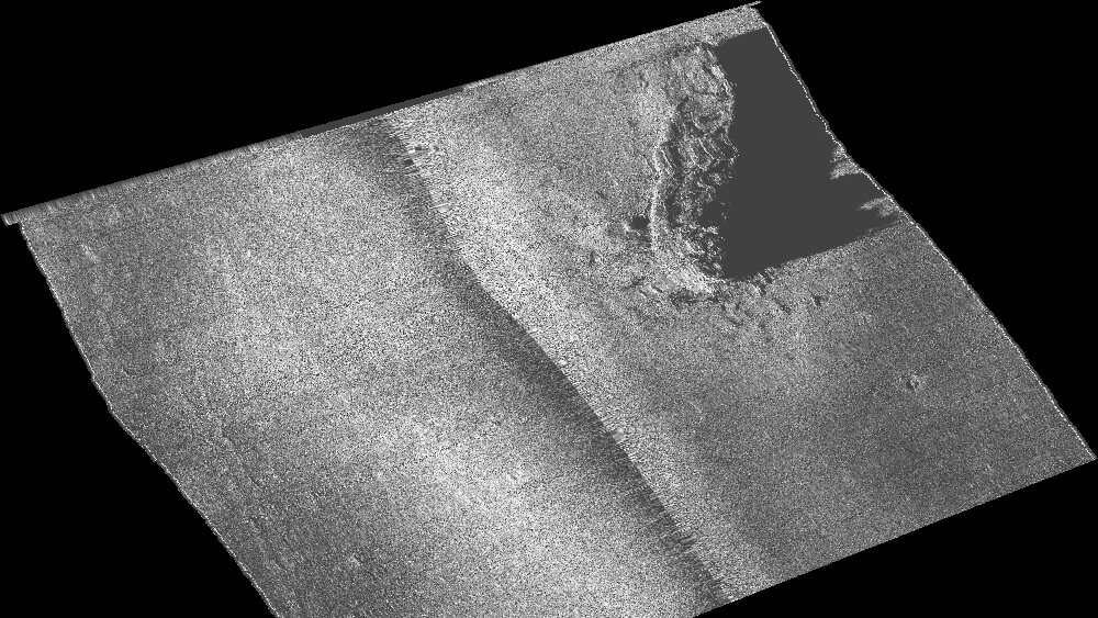
Side-scan sonar image of the Mystery Collier wreck and its acoustic shadow
SSS image · NOAA/SBNMS
SIDE-SCAN SONAR / SSS

Side-scan sonar survey

Acoustic seabed imaging for detection and classification of contacts, debris and obstructions. Contacts are reviewed and can be prioritised for follow-up ROV investigation.

DELIVERABLES

Georeferenced sonar mosaic and contact register with coordinates.

INSPECTION REPORTING

Traceable inspection deliverables.

Inspection observations, measurements, stills and video are compiled into traceable deliverables, with findings cross-referenced to asset locations and supporting media.

Final reporting provides a clear inspection record for integrity assessment, repair planning and comparison with future inspection campaigns.

Client deliverables

Inspection video & stills

Recorded inspection video and still images indexed to inspected locations.

Findings / anomaly register

Findings, defects and anomalies cross-referenced to supporting stills and video.

Measurement register

UT, CP and other measurement results referenced to defined inspection points, where measurements form part of the scope.

Scope, limitations & exclusions

Inspection methods, environmental and operational conditions, access limitations and any areas not inspected.

Inspection planning

Scope, inspection methods, equipment and deliverables are defined based on the client’s objectives, asset drawings, inspection plan and site conditions.

ABOUT

Offshore inspection
experience.

Our experience covers North Sea oil & gas and offshore wind projects, together with commercial diving operations in Norway.

We combine a technical background with hands-on experience in subsea inspection, offshore diving, ROV operations and inspection reporting.

CONTACT

Discuss your project

ROV inspection, hydrographic survey or inspection coordination?

Based in Sopot, Poland, with mobilisation available for projects across Europe. Send the scope of work, location and required timeframe. Asset drawings, inspection plans or survey-area maps help us define the appropriate method, equipment and deliverables.